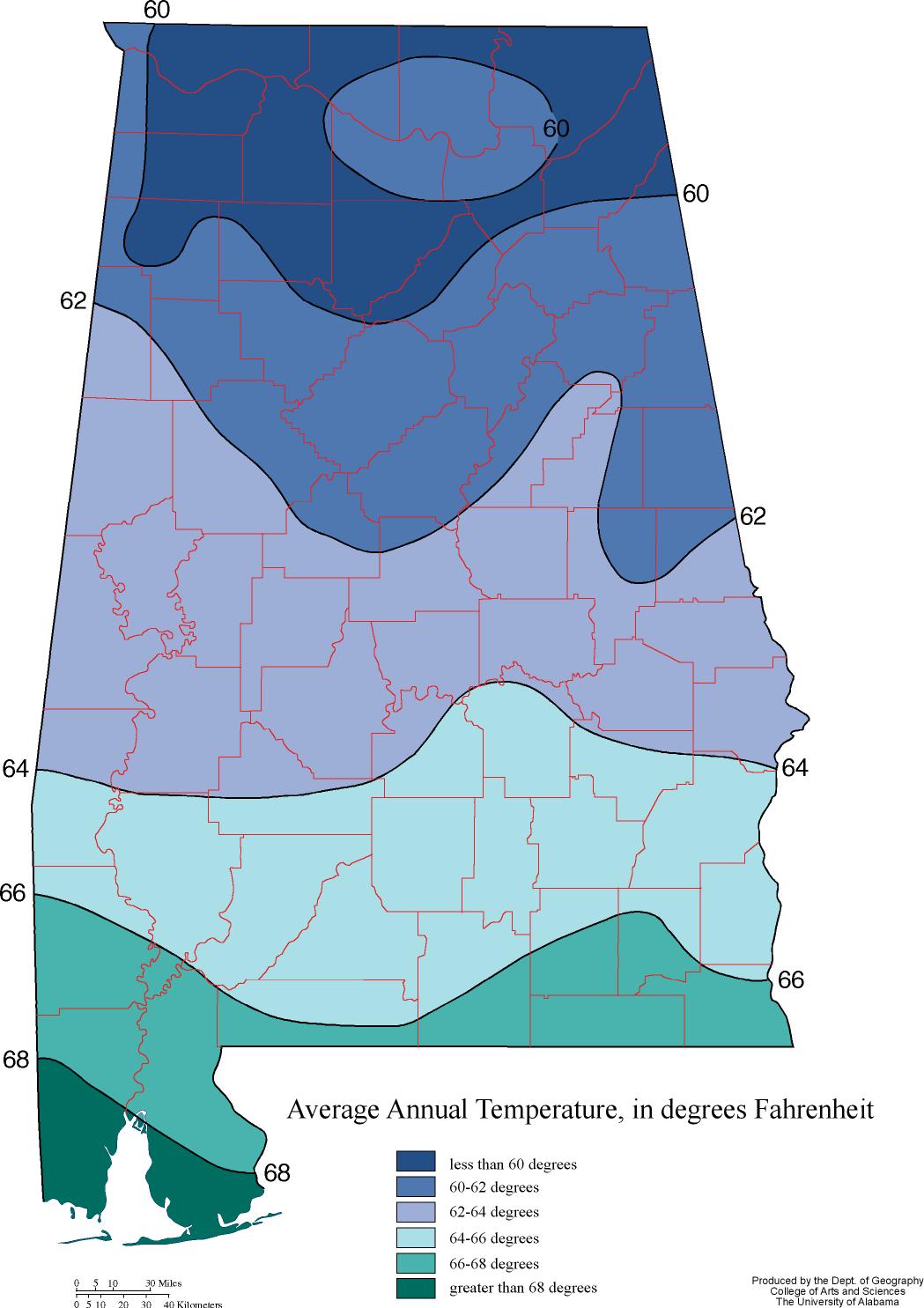
If we could somehow map up the dates of peak rut for deer in Alabama, do you think the map would have distinct zones, or be random pockets, or a hybrid of the two? I give the example map below of what I mean by zones, but I am not trying to relate this air temp map to rut so no need to comment on that.
I don't know of a rut-timing map for the state (correct me if I'm wrong). Personally, I'm curious what patterns emerge, if any.
For you mapping experts, do you think ALDEER could generate enough data to put a map together?